Year-Long Interstate 30 Planning and Environmental Linkages Study Completed
Project moves into next phase; branded the “30 Crossing"
Information Release
Arkansas State Highway and Transportation Department
NR 15-257
July 29, 2015
LITTLE ROCK (7-29) – A major milestone in identifying improvements to Interstate 30 in Little Rock and North Little Rock has been achieved after a year-long study, according to Arkansas State Highway and Transportation Department (AHTD) officials.
The I-30 Planning and Environmental Linkages (PEL) Study received an acceptance letter from the Federal Highway Administration on July 1st acknowledging the study's completion.
“The study took a first look at I-30's system capacity, safety and deficiencies within the study area,” said Ben Browning, P.E., who has been named by AHTD as the project director for the I-30 project. “Following the PEL process has provided the opportunity to initiate early coordination with agencies, stakeholders and the public, while also providing a mechanism to make early planning-level decisions that will reduce the time needed to complete the environmental process.”
In April 2014, AHTD began the study to identify the purpose and need for improvements to I-30, to determine possible viable alternatives for a long-term solution to meet those needs and recommend alternative(s) that could be carried forward into the National Environmental Policy Act (NEPA) study. The PEL study area was on I-30 between I-40 and I-530, including the Arkansas River Bridge, as well as on I-40 between JFK Boulevard and U.S. Highway 67.
The alternative being carried forward into the NEPA process, also called the PEL Recommendation, is the 10-lane downtown collector/distributor (CD) alternative. The PEL Recommendation includes five lanes in each direction, with two of the main lanes serving as CD lanes from just south of Broadway Street in North Little Rock to the Highway 10 interchange just north of 3rd Street in Little Rock. CD lanes, which are separated from main lanes by a barrier and connect the main lanes of an Interstate with ramps, operate at lower speeds than main lanes and higher speeds than frontage roads.
The I-30 PEL study determined that this concept would best relieve traffic congestion, improve roadway safety, address structural and functional roadway and bridge deficiencies, and improve water navigation safety. The I-30 PEL report is available on the Connecting Arkansas Program website at
http://connectingarkansasprogram.com/interstate-30-pel-report.
Project-specific determinations, such as interchange design and the location of ramps and interchanges, and a more detailed analysis of potential impacts will be analyzed through the NEPA process. Additional public meetings will be held during NEPA, and the public is encouraged to provide input throughout the process.
The project's preliminary schedule, which is subject to change, has the environmental and schematic phase completing in mid-2016, the design-build team beginning work in early 2017 and construction beginning in 2018.
30 Crossing
 AHTD officials have announced that the I-30 project will be branded the “30 Crossing” project going forward. The logo and name reference improvements to the I-30 Arkansas River Bridge, which will be replaced as a major component of the Interstate widening and improvements project, as well as the opportunity to connect businesses and communities across I-30.
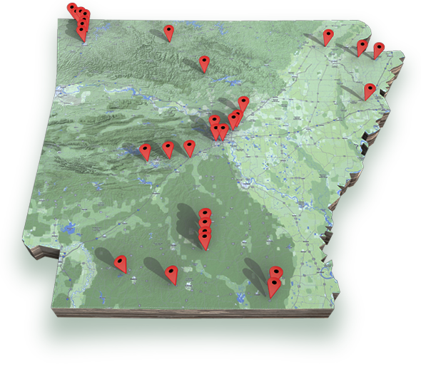
The 30 Crossing project is part of the Connecting Arkansas Program (CAP), which is funded through a 10-year, half-cent sales tax. The CAP's 35 projects in 19 corridors are improving Arkansas' transportation system by expanding selected two-lane roadways to four-lane highways and adding new lanes to identified interstate highways. More information is available at ConnectingArkansasProgram.com.
Motorists should exercise caution when approaching and traveling through all highway work zones. Additional travel information can be found at IDriveArkansas.com or ArkansasHighways.com. You can also follow us on Twitter @AHTD.
